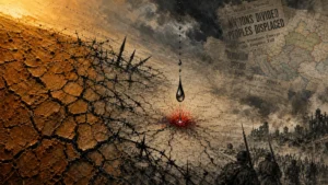
A Timeline of Catastrophe
While separated by centuries and driven by different natural forces, the deadliest earthquake, flood, and tsunami share a common narrative of sudden, overwhelming devastation. Their timelines reveal the speed at which normalcy was shattered and the immense scale of the subsequent crises.
The Shaanxi Earthquake: January 23, 1556
In the pre-dawn hours of January 23, 1556, during the reign of the Jiajing Emperor in Ming dynasty China, a massive earthquake struck. Modern analysis estimates its magnitude at approximately 8.0. Its epicenter was in the Wei River Valley in Shaanxi Province, but its devastating effects were felt across an area spanning hundreds of miles. In an era without seismic instrumentation, the first and only warning was the violent shaking itself.
The destruction was almost instantaneous. The region is characterized by deep deposits of loess, a fine, silty sediment that is easily carved. For centuries, a significant portion of the population lived in artificial cave dwellings known as yaodongs, which were excavated from loess cliffs. While energy-efficient, these dwellings were catastrophically unstable during seismic shaking. Entire communities were buried alive as the cliffsides collapsed. In cities like Huaxian, it is reported that every single building was destroyed, and massive fissures, some 60 feet deep, opened in the earth. The quake triggered landslides that dammed rivers, causing secondary floods that further compounded the disaster.
The China Floods: Summer 1931
The 1931 China floods were not a single event but a protracted catastrophe that unfolded over several months. Following a harsh winter and a wet spring, the stage was set for disaster. In July and August 1931, an unprecedented seven cyclones struck the region, dumping record-breaking rainfall on the watersheds of the Yangtze, Huai, and Yellow Rivers.
By early August, the dikes protecting the vast agricultural plains began to fail. On August 25, the dikes along Lake Gaoyou on the Grand Canal gave way, sending a surge of water into surrounding communities. The Yangtze River, which serves as a major artery for China, reached its highest level ever recorded in cities like Hankou (part of modern Wuhan). The capital city at the time, Nanjing, was also inundated. At its peak, the flooded area was estimated to be over 70,000 square miles, an area roughly the size of England. Water levels in some areas did not recede for three to six months, leaving millions stranded, homeless, and without food.
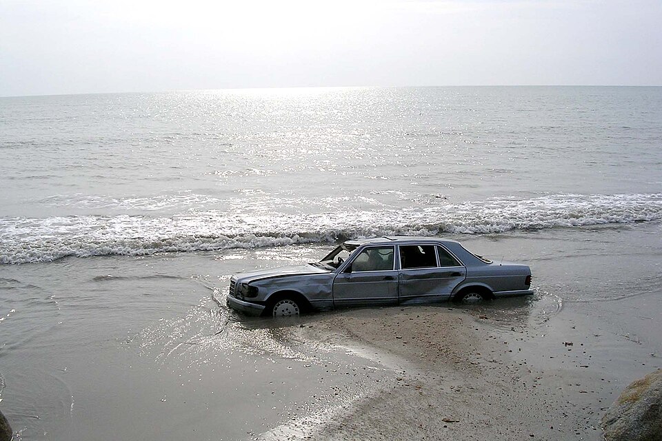
The Indian Ocean Tsunami: December 26, 2004
The disaster began at 7:59 AM local time on December 26, 2004. A massive megathrust earthquake with a magnitude of 9.1–9.3 ruptured along a fault line off the west coast of northern Sumatra, Indonesia. It was the third-largest earthquake ever recorded by seismographs and caused the entire planet to vibrate by as much as one centimeter. The quake displaced an enormous volume of water in the Indian Ocean, triggering a devastating tsunami.
Because there was no tsunami warning system in the Indian Ocean at the time, coastal populations had no official alert of the impending waves. The tsunami radiated outward from the epicenter. Within 15 to 30 minutes, waves reaching heights of up to 100 feet struck the coast of Sumatra, obliterating villages. Approximately two hours after the earthquake, the waves reached Thailand, Sri Lanka, and India. The tsunami continued across the ocean, reaching the coast of Somalia in Africa some seven hours after the initial quake. The series of waves caught communities completely by surprise, leading to one of the deadliest natural disasters in modern history.