Profiles of Consistently Dangerous Highways
While accident rates fluctuate, certain US highways consistently appear in analyses of the nation’s most dangerous roads. This is not a formal designation but is based on statistical analysis by transportation researchers and federal agencies, typically measured in fatalities per 100 miles of roadway. The following profiles examine several of these routes, exploring the specific combination of factors that contribute to their high-risk profiles.
Interstate 95 (I-95)
Stretching nearly 2,000 miles from Miami, Florida, to the Canadian border in Maine, I-95 is the main north-south artery on the East Coast. Its high fatality rate is a product of its immense length and the diverse conditions along its route. Many people ask, why is I-95 so dangerous? The answer lies in its exposure to a wide array of hazards. In the Northeast, it passes through the nation’s most densely populated urban corridor, from Washington, D.C., to Boston. Here, it is plagued by extreme congestion, aging infrastructure with narrow lanes and short merge areas, and a high volume of aggressive drivers.
Further south, in states like Florida, Georgia, and the Carolinas, the character of I-95 changes. The road straightens out, speed limits increase, and long-distance travel, including heavy commercial freight, becomes dominant. This section is prone to incidents caused by driver fatigue and high-speed collisions. Furthermore, the entire length of I-95 is susceptible to severe weather, from snow and ice storms in New England to torrential rain and hurricanes in the Southeast. This combination of urban congestion, high-speed rural stretches, heavy truck traffic, and weather volatility makes I-95 a consistently deadly highway.
Interstate 4 (I-4) in Florida
Though only 132 miles long, the stretch of Interstate 4 connecting Tampa and Orlando in Central Florida is frequently cited as one of the deadliest interstates in the United States on a per-mile basis. The primary cause is a toxic mix of high traffic volume, constant major construction projects, and a significant amount of tourist traffic. The corridor links major population centers and world-famous tourist destinations, meaning it carries heavy loads of daily commuters, commercial trucks, and tourists who may be unfamiliar with the roadway.
Decades of near-continuous construction to widen and modernize the highway create a chaotic and unpredictable driving environment. Shifting lane patterns, temporary barriers, and uneven pavement contribute to driver confusion and increase the risk of collisions. The high volume of traffic ensures that when an incident does occur, it often results in major secondary accidents and prolonged road closures, magnifying the initial impact.
US Route 1 in Florida
Another Florida roadway, the segment of US Route 1 running through the Florida Keys, presents a completely different type of danger. Known as the Overseas Highway, this road is an engineering marvel, connecting the archipelago with a series of bridges and causeways. However, for much of its length, it is a two-lane road with limited passing opportunities and minimal shoulders. This design leaves virtually no room for driver error.
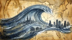
The danger is compounded by a mix of slow-moving tourists mesmerized by the scenery and impatient local traffic. Head-on collisions are a significant risk. Furthermore, its coastal location makes it extremely vulnerable to flooding and storm surge during hurricanes, and as the only land route in and out of the Lower and Middle Keys, it serves as a critical but fragile evacuation route. The combination of its restrictive geometry and high-consequence environmental vulnerability places it among the nation’s most uniquely dangerous roads.
Interstate 10 (I-10)
Spanning the country from Santa Monica, California, to Jacksonville, Florida, I-10 is a major sun-belt corridor for both commercial and passenger traffic. Its dangers vary by region. In the deserts of Arizona and New Mexico, long, monotonous stretches can induce driver fatigue. This area is also prone to sudden, blinding dust storms, known as haboobs, which can reduce visibility to zero in seconds and lead to massive chain-reaction pileups.
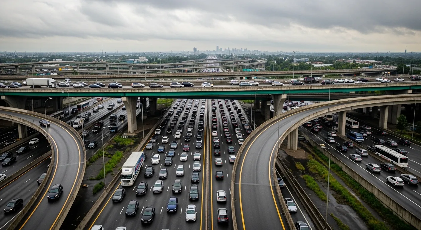
In Texas, I-10 features some of the highest speed limits in the country (up to 85 mph), increasing the severity of any crash that occurs. Through Houston, it becomes one of the widest freeways in the world, the Katy Freeway, but this width does not eliminate the dangers of extreme congestion and complex interchanges. Along the Gulf Coast in Louisiana and Mississippi, the highway is low-lying and susceptible to flooding during hurricanes, posing a risk to both travelers and the infrastructure itself.