Timeline
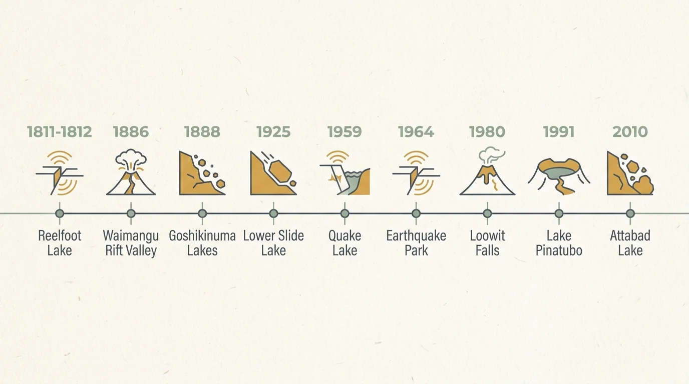
Tracing the chronology of these events highlights the terrifying speed of geological transformation. Some landmarks emerge in minutes, while others take years to stabilize. The New Madrid earthquakes unfolded over several agonizing months in the winter of 1811 and 1812. The first massive shock hit on December 16, 1811, followed by a second on January 23, 1812, and a third immense rupture on February 7, 1812. This final shock ultimately finalized the massive subsidence that birthed Reelfoot Lake.
In contrast, the Mount Tarawera eruption transformed the New Zealand landscape over a single, terrifying night. On June 10, 1886, at 1:30 AM, earthquakes rattled the region. By 2:00 AM, the mountain split open, and over the next four hours, continuous explosions destroyed the legendary Pink and White Terraces, leaving the yawning Waimangu Rift Valley smoking by dawn. Japan’s Mount Bandai collapsed with equal swiftness. On the morning of July 15, 1888, a massive explosion blew out the northern flank of the volcano in less than a minute, immediately damming the Nagase River and initiating the formation of the Goshikinuma Lakes.
Landslide lakes follow a distinct chronological pattern: a sudden blockage followed by a slow, inevitable inundation. On June 23, 1925, the Gros Ventre mountain face collapsed in roughly three minutes. However, the resulting Lower Slide Lake took several months to completely fill the valley behind the massive debris dam. A tragic secondary timeline unfolded two years later; on May 18, 1927, the upper portion of the natural dam suddenly failed, sending a lethal wall of water downstream. Similarly, the 1959 Hebgen Lake earthquake struck near midnight on August 17. The mountain collapsed instantly, but Quake Lake formed over the ensuing three weeks as emergency crews desperately raced against time to manage the rising Madison River.
The 1980 eruption of Mount St. Helens offers one of the most precisely documented timelines in hazard science. At 8:32 AM on May 18, a magnitude 5.1 earthquake triggered the largest landslide in recorded history. Seconds later, the uncorked volcano released a lateral blast that flattened 230 square miles of forest. Within ten minutes, the top 1,300 feet of the mountain vanished, leaving the spectacular crater you see today.
Modern disasters provide similarly distinct timelines. The climax of the Mount Pinatubo eruption occurred on June 15, 1991, plunging the region into darkness amid a passing typhoon. Yet, Lake Pinatubo did not materialize instantly; it took a full decade of steady monsoon rains to fill the newly collapsed caldera. More recently, the massive landslide that created Pakistan’s Attabad Lake struck on January 4, 2010. Over the following five months, you could watch the newly formed lake relentlessly expand, swallowing entire villages inch by inch until water finally crested the debris spillway in late May.